Year 8 Bearings Scale and Loci Worksheets
Want Better Results? Use Our Printable PDF Geometry Worksheets Today
Year 8 mathematics introduces a major change through the combination of bearings with scale and loci, which requires students to merge numerical abilities with geometric drawing and spatial thinking skills. This topic cluster teaches precise technical vocabulary for mathematical communication and introduces three-figure bearing notation, which students will use throughout their GCSE studies and beyond. Students develop their ability to move between various representation systems by learning to convert compass directions into numerical bearings and actual distances into scaled drawings and verbal descriptions into geometric constructions. The interconnected nature of these topics reinforces how mathematical concepts support each other, with scale factors enhancing understanding of ratio whilst loci problems strengthen compass and ruler techniques.
Specific learning benefits include:
• Understand three-figure bearing notation
• Develops accurate scale drawing techniques
• Strengthens protractor and compass skills
• Builds spatial visualisation abilities
• Connects geometry to navigation
• Prepares foundations for trigonometry
• Enhances cross-curricular geography links
Curriculum Coverage: Worksheet Topics and Skills Your KS3 Students Will Learn
These worksheets scaffold learning from basic angle measurement through to complex geometric constructions, with detailed diagrams supporting every concept introduction. The materials begin with simple compass directions before progressing to multi-step problems involving combined loci conditions and scale conversions. Students encounter increasingly sophisticated scenarios that require them to select appropriate techniques and combine multiple skills within a single question. Visual clarity remains paramount throughout, with sufficient space for construction work and clear marking guidelines.
The core skills covered include:
• Three-figure bearings – measuring clockwise from north
• Back bearings – calculating reverse directions accurately
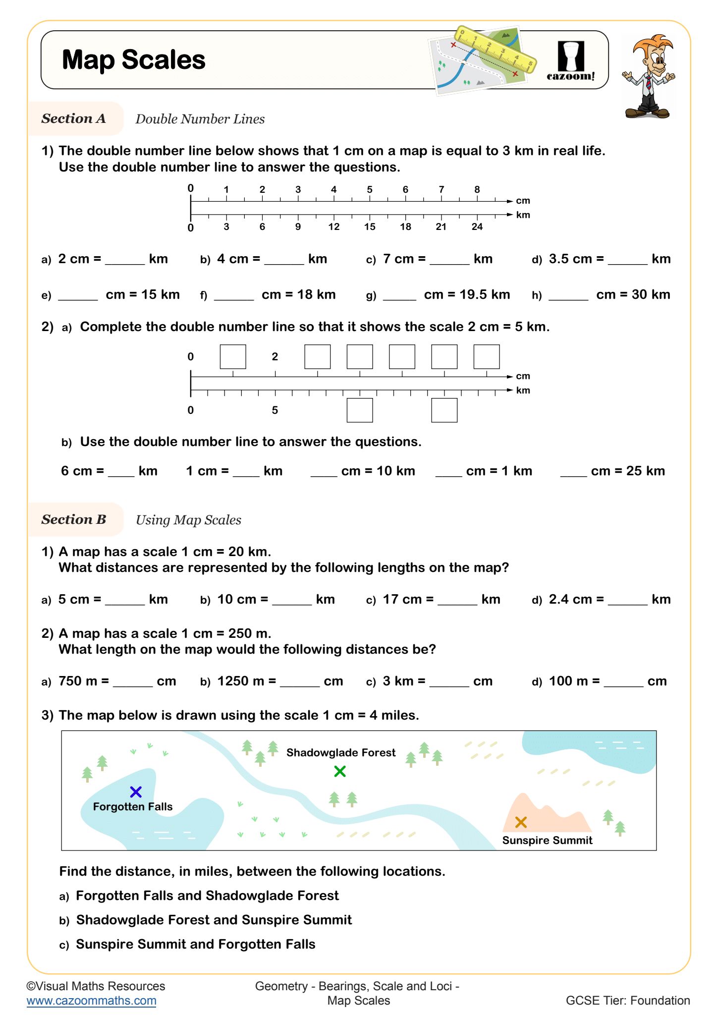
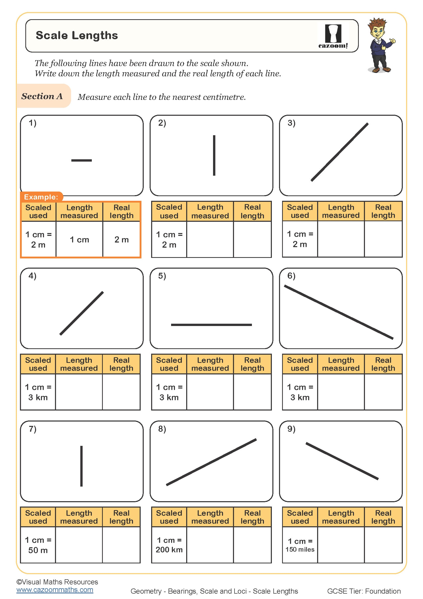
• Scale factors – converting between map and actual distances
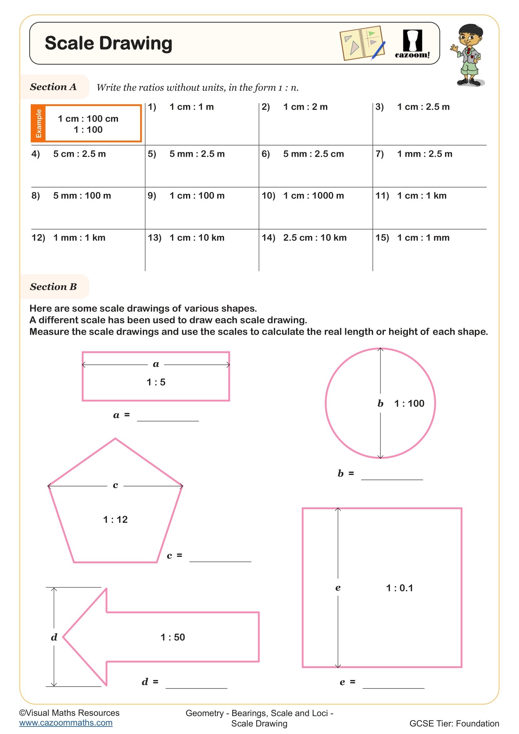
• Scale drawings – constructing accurate representations
• Simple loci – points equidistant from fixed positions
• Complex loci – combining multiple distance conditions
• Perpendicular bisectors – constructing equal distance lines
• Angle bisectors – finding equidistant points from lines
• Practical navigation – solving multi-step journey problems
Attention Teachers: Boost Accuracy With Year 8 Bearings, Scale and Loci Worksheets
These worksheets were designed for classroom needs because they recognise the diverse beginning points Year 8 students have in geometry, so they offer tasks that help struggling learners and extend challenges for ready students. The design focuses on usability through diagrams of suitable size, proper labelling standards and sufficient space for construction work. The answer sheets show more than numerical answers because they display how students choose methods and make decisions, which helps teachers pinpoint their understanding weaknesses. The transparent design allows teachers to deliver targeted interventions and provides instant examples for whole-class modelling. The structured progression enables teachers to assign work immediately according to their assessment needs for new concept introduction or learning consolidation, or addressing specific misconceptions.
Everyday Maths: Where Year 8 Students Use Bearings, Scale and Loci Skills in Real Life
Understanding bearings and scale transforms how students interpret navigational information and technical drawings throughout their lives.
• Outdoor activities – orienteering competitions and hiking route planning
• Travel planning – calculating real distances from map scales
• Architecture and design – interpreting floor plans and blueprints
• Emergency services – communicating precise location information
• Marine navigation – following shipping routes and coastal charts
• Aviation – comprehending flight paths and runway approaches
• Gaming and technology – programming movement in coordinate systems
• Environmental studies – analysing wildlife territories and boundaries


